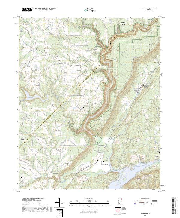
2024 Map of Little River
USGS Topo · Published 2024About this map
Shinbone Valley and the surrounding heights of Lookout Mountain define this landscape on the border of DeKalb and Cherokee counties. The map centers on the dramatic geography of the Little River Canyon National Preserve, where the Little River carves through the sandstone plateau. This terrain has historically dictated the settlement patterns of the region, forcing communities into the narrow valley floor or onto the more level upland reaches of Shinbone Ridge.
Find a feature on this map
136 named features on this map. Tap any name to fly to it.
Don’t see what you’re looking for? This feature index may not catch every label — zoom into the map to look around manually.
Map Details
Editions of this 2024 Little River Map
This is the sole edition of this map. No revisions or reprints were ever made.
Historical Maps of Taft Through Time
10 maps found
1967 Ellisville
Cherokee County, AL
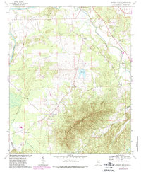
1967 Indian Mountain
Cherokee County, AL
1967 Jamestown
Cherokee County, AL
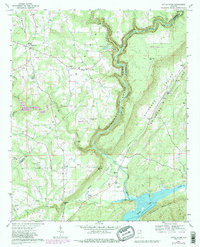
1967 Little River
Cherokee County, AL
1967 Weisner Mountain
Cherokee County, AL
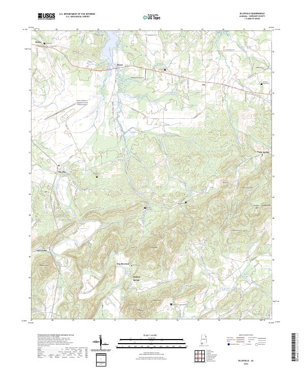
2024 Ellisville
Cherokee County, AL
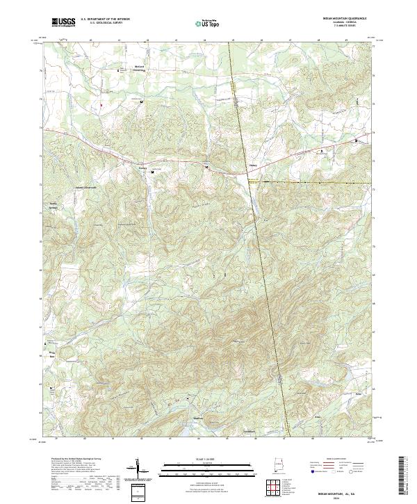
2024 Indian Mountain
Cherokee County, AL
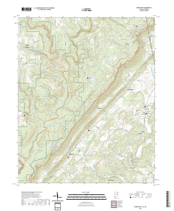
2024 Jamestown
Cherokee County, AL
2024 Little River
Cherokee County, AL
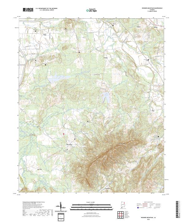
2024 Weisner Mountain
Cherokee County, AL