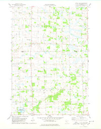
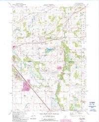
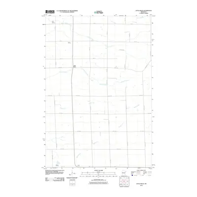
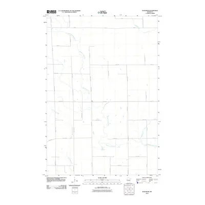
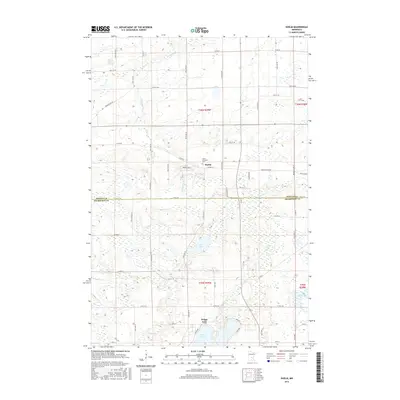
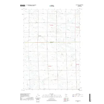
1978 Map of Little Rock
USGS Topo · Published 1978About this map
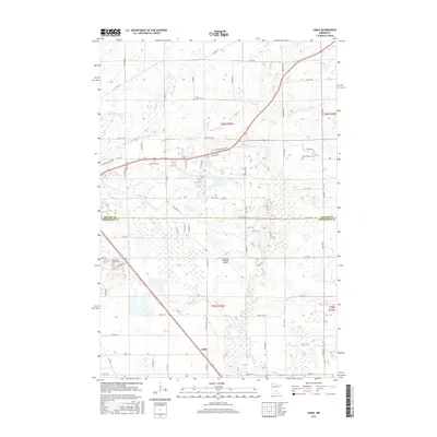
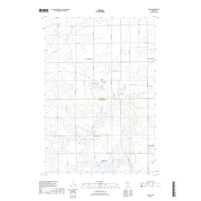
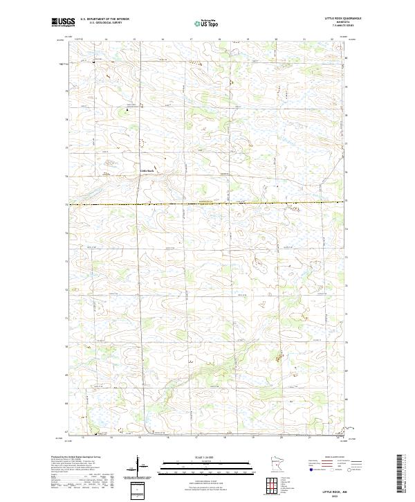
Little Rock Creek winds south through this rural landscape on the border of Morrison and Benton Counties, providing the primary drainage for the surrounding townships. The small settlement of Little Rock sits central to the sheet, near where Bunker Creek joins the main flow. This late-1970s record illustrates a region defined by agricultural land use and scattered rural landmarks, including the Townhall in Graham Township and a local Radio Tower.
Find a feature on this map
20 named features on this map. Tap any name to fly to it.
Don’t see what you’re looking for? This feature index may not catch every label — zoom into the map to look around manually.
Map Details
Editions of this 1978 Little Rock Map
This is the sole edition of this map. No revisions or reprints were ever made.
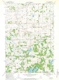
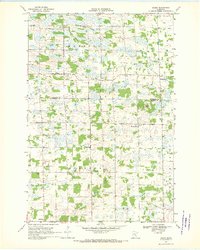
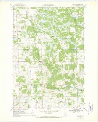
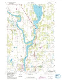
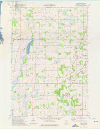
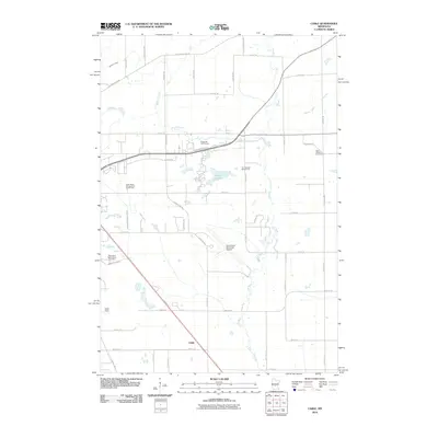
Historical Maps of Alberta Township Through Time
42 maps found
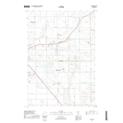
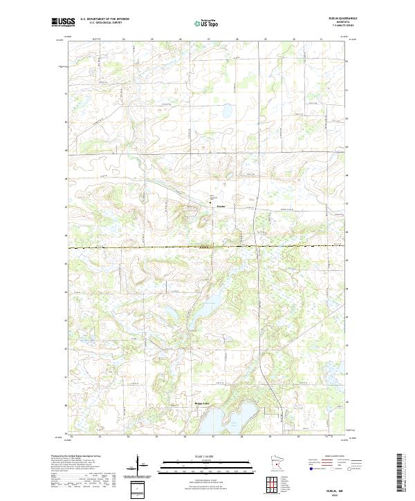
1968 Duelm
Benton County, MN
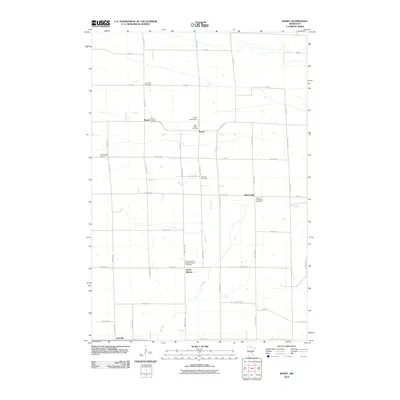
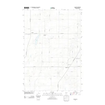
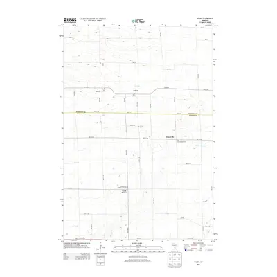
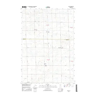
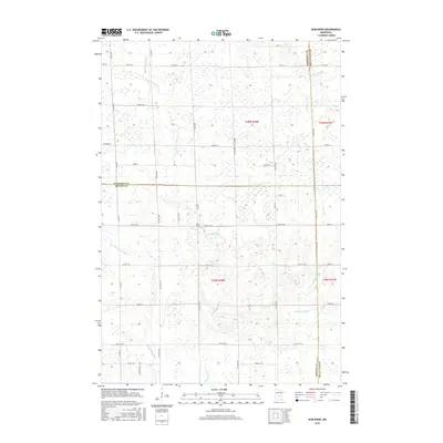
1968 Ramey
Benton County, MN
1968 Rum River
Benton County, MN
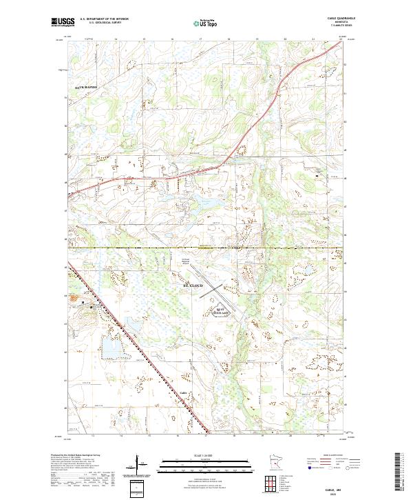
1974 Cable
Benton County, MN
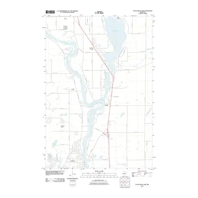
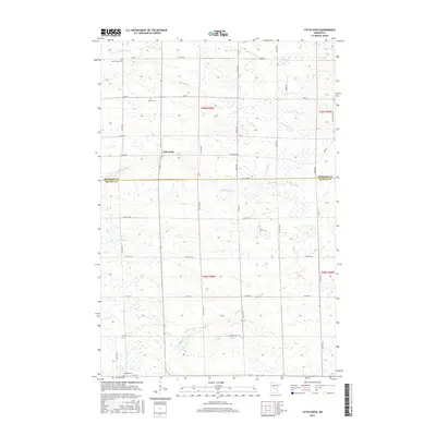
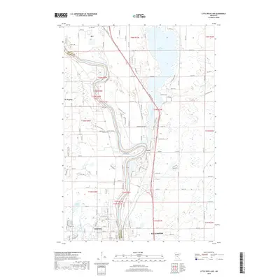
1974 Little Rock Lake
Benton County, MN
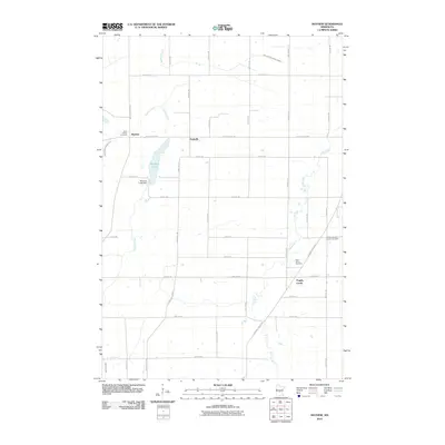
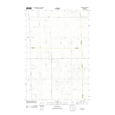
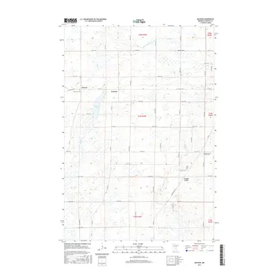
1974 Mayhew
Benton County, MN
1978 Little Rock
Benton County, MN
2010 Cable
Benton County, MN

2010 Duelm
Benton County, MN
2010 Little Rock
Benton County, MN
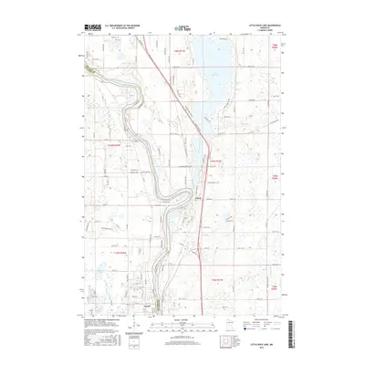
2010 Little Rock Lake
Benton County, MN
2010 Mayhew
Benton County, MN
2010 Ramey
Benton County, MN
2010 Rum River
Benton County, MN
2013 Cable
Benton County, MN
2013 Duelm
Benton County, MN
2013 Little Rock
Benton County, MN

2013 Little Rock Lake
Benton County, MN
2013 Mayhew
Benton County, MN
2013 Ramey
Benton County, MN
2013 Rum River
Benton County, MN
2016 Cable
Benton County, MN
2016 Duelm
Benton County, MN
2016 Little Rock
Benton County, MN
2016 Little Rock Lake
Benton County, MN
2016 Mayhew
Benton County, MN
2016 Ramey
Benton County, MN
2016 Rum River
Benton County, MN
2019 Cable
Benton County, MN
2019 Duelm
Benton County, MN
2019 Little Rock
Benton County, MN
2019 Little Rock Lake
Benton County, MN
2019 Mayhew
Benton County, MN
2019 Ramey
Benton County, MN
2019 Rum River
Benton County, MN
2022 Cable
Benton County, MN
2022 Duelm
Benton County, MN
2022 Little Rock
Benton County, MN
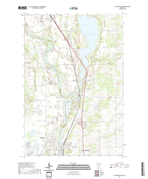
2022 Little Rock Lake
Benton County, MN
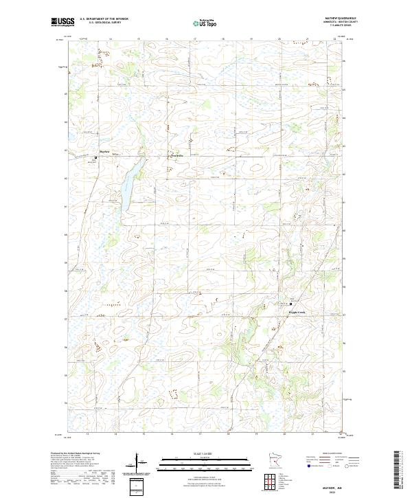
2022 Mayhew
Benton County, MN
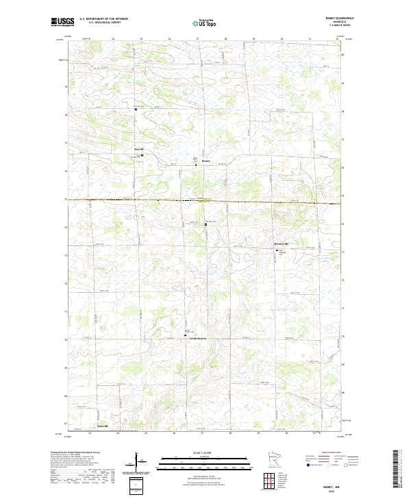
2022 Ramey
Benton County, MN
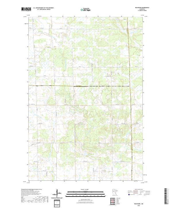
2022 Rum River
Benton County, MN