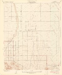
1934 Map of Little Rock
USGS Topo · Published 1934About this map
The Antelope Valley floor is defined by a rigid grid of avenues and section lines on this 1930s survey, illustrating the early 20th-century push to develop the high desert through organized agriculture and land planning. The settlement of Little Rock sits at a critical junction where the Little Rock Ditch and several wells provide the hydration necessary for the surrounding pear and blossom orchards. This reliance on water management is further evidenced by the path of Little Rock Wash, which cuts a broad, natural course through the surveyed blocks of the valley.
Find a feature on this map
10 named features on this map. Tap any name to fly to it.
Don’t see what you’re looking for? This feature index may not catch every label — zoom into the map to look around manually.
Map Details
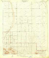
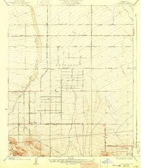
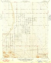
Editions of this 1934 Little Rock Map
4 editions found
Other maps of this area

1900 · Tujunga
USGS Topo · 1:62,500

1901 · Southern California Sheet No. 1
USGS Topo · 1:250,000

1903 · Rock Creek
USGS Topo · 1:62,500

1904 · Southern California Sheet No. 1
USGS Topo · 1:250,000

1915 · Elizabeth Lake
USGS Topo · 1:125,000

1917 · Elizabeth Lake
USGS Topo · 1:125,000

1930 · Lovejoy Springs
USGS Topo · 1:24,000

1930 · Little Rock
USGS Topo · 1:24,000

1930 · Llano
USGS Topo · 1:24,000

1930 · Pearland
USGS Topo · 1:24,000