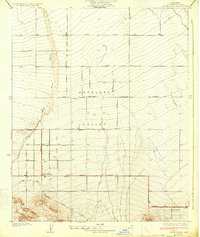
1934 Map of Little Rock
USGS Topo · Published 1934About this map
Antelope Valley is depicted here in a period of agricultural transition, where early irrigation infrastructure and a rigid grid of avenues define the landscape. The settlement of Little Rock serves as a focal point along the Pear Blossom Highway, supported by a network of water management features like the Little Rock Ditch and numerous irrigation Wells. The mapping reflects the ambitious 1930s expansion of Los Angeles County, showing the intersection of planned infrastructure and the natural drainage of Little Rock Wash as it flows from the southern highlands toward the desert floor. Further east, the small cluster at Almondale sits near the foot of the mountains, marking the edge of the valley's development before the terrain rises into Shoemaker Canyon. This survey by C.W.H. Nessler captures the desert plains at the height of their early 20th-century orchard and farming boom.
Find a feature on this map
34 named features on this map. Tap any name to fly to it.
Don’t see what you’re looking for? This feature index may not catch every label — zoom into the map to look around manually.
Map Details
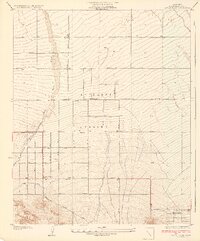
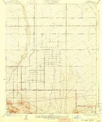
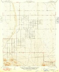
Editions of this 1934 Little Rock Map
4 editions found
Other maps of this area

1900 · Tujunga
USGS Topo · 1:62,500

1901 · Southern California Sheet No. 1
USGS Topo · 1:250,000

1903 · Rock Creek
USGS Topo · 1:62,500

1904 · Southern California Sheet No. 1
USGS Topo · 1:250,000

1915 · Elizabeth Lake
USGS Topo · 1:125,000

1917 · Elizabeth Lake
USGS Topo · 1:125,000

1930 · Lovejoy Springs
USGS Topo · 1:24,000

1930 · Little Rock
USGS Topo · 1:24,000

1930 · Llano
USGS Topo · 1:24,000

1930 · Pearland
USGS Topo · 1:24,000