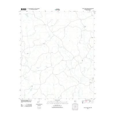
2012 Map of Little Sand Creek
USGS Topo · Published 2012About this map
Old Greensboro Cem and the adjacent Greenboro Cem anchor the southeastern corner of this Webster County landscape, marking the site of a significant early regional settlement. The terrain is defined by a dense network of tributaries including Calabrella Cr, Wolf Cr, and Patts Br, which carve through the countryside. This 2012 survey illustrates a quiet rural expanse where social life and family heritage are centered around numerous small burial grounds, such as Edward Springs Cem, Macedonia Cem, and Mount Vernon Cem. The road network, largely composed of numbered routes like Co RD-38 and Co RD-252, connects these dispersed landmarks. A single Fire Tower Rd in the western portion suggests a history of forest management and fire observation in this heavily wooded pocket of north-central Mississippi.
Find a feature on this map
48 named features on this map. Tap any name to fly to it.
Don’t see what you’re looking for? This feature index may not catch every label — zoom into the map to look around manually.
Map Details
Editions of this 2012 Little Sand Creek Map
This is the sole edition of this map. No revisions or reprints were ever made.
Other maps of this area

1953 · Walthall
USGS Topo · 1:62,500

1953 · West Point
USGS Topo · 1:250,000

1954 · Duck Hill
USGS Topo · 1:62,500

1958 · West Point
USGS Topo · 1:250,000

1963 · West Point
USGS Topo · 1:250,000

1966 · Kilmichael
USGS Topo · 1:24,000

1966 · Stewart
USGS Topo · 1:24,000

1966 · Tomnolen
USGS Topo · 1:24,000

1968 · Weir
USGS Topo · 1:62,500

1968 · Winona
USGS Topo · 1:62,500