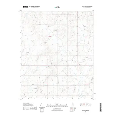
2021 Map of Little Sand Creek
USGS Topo · Published 2021About this map
Old Greenboro Cem and Greenboro Cem sit in the southeastern corner of this Webster County landscape, marking a site of early regional significance. The terrain is defined by an intricate network of waterways including Calabrella Cr, Wolf Cr, and Little Sand Creek, which carve through the rural topography. This map highlights a deeply rooted cemetery network, with family and community sites like Edgeworth Cem, Hightower Cem, and Edward Springs Cem scattered across the landscape. The road system, featuring names like Gold Mine Rd and Union Church Rd, suggests a history of local industry and social gathering points. Small tributaries such as Patts Br and Yates Cr feed into the larger creek systems, while the presence of Fire Tower Rd indicates the importance of forest management in this timber-rich portion of Mississippi.
Find a feature on this map
53 named features on this map. Tap any name to fly to it.
Don’t see what you’re looking for? This feature index may not catch every label — zoom into the map to look around manually.
Map Details
Editions of this 2021 Little Sand Creek Map
This is the sole edition of this map. No revisions or reprints were ever made.
Other maps of this area

1953 · Walthall
USGS Topo · 1:62,500

1953 · West Point
USGS Topo · 1:250,000

1954 · Duck Hill
USGS Topo · 1:62,500

1958 · West Point
USGS Topo · 1:250,000

1963 · West Point
USGS Topo · 1:250,000

1966 · Kilmichael
USGS Topo · 1:24,000

1966 · Stewart
USGS Topo · 1:24,000

1966 · Tomnolen
USGS Topo · 1:24,000

1968 · Weir
USGS Topo · 1:62,500

1968 · Winona
USGS Topo · 1:62,500