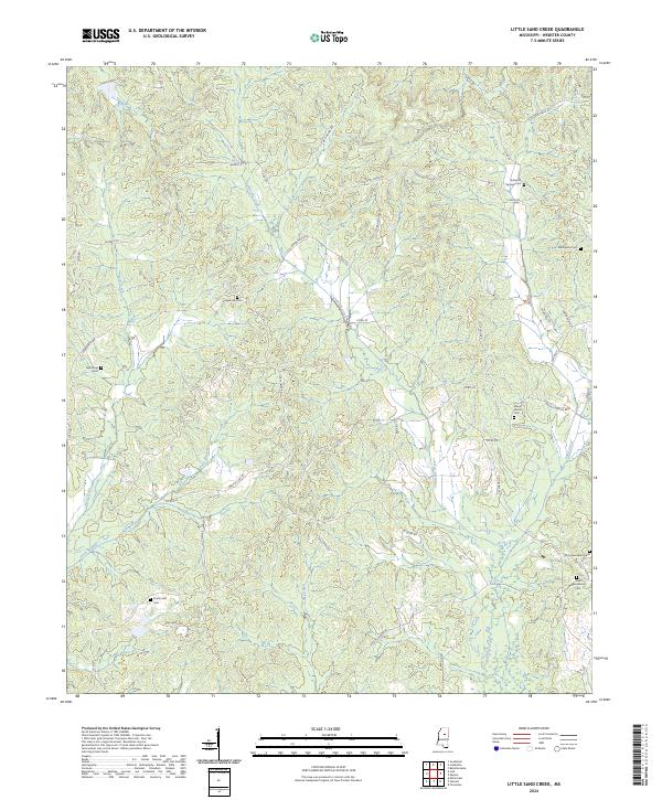
2024 Map of Little Sand Creek
USGS Topo · Published 2024About this map
Old Greensboro Cem and New Greensboro Cem stand at the eastern edge of this Webster County landscape, marking the site of a significant early regional settlement. The terrain is defined by the winding course of Calabrella Creek and its tributaries, including Patts Branch and Yates Creek, which carve through the rural interior. A network of country roads like Webster Lodi Rd and Gold Mine Rd connects scattered family burial grounds, such as Edwards Springs Cem and Edgeworth Cem. The mapping shows a distinct pattern of small, localized landmarks and cemeteries that provide a clear view of the area's genealogical history and land divisions, including the boundaries of t20n r8e and t19n r9e.
Find a feature on this map
52 named features on this map. Tap any name to fly to it.
Don’t see what you’re looking for? This feature index may not catch every label — zoom into the map to look around manually.
Map Details
Editions of this 2024 Little Sand Creek Map
This is the sole edition of this map. No revisions or reprints were ever made.
Other maps of this area

1953 · Walthall
USGS Topo · 1:62,500

1953 · West Point
USGS Topo · 1:250,000

1954 · Duck Hill
USGS Topo · 1:62,500

1958 · West Point
USGS Topo · 1:250,000

1963 · West Point
USGS Topo · 1:250,000

1966 · Kilmichael
USGS Topo · 1:24,000

1966 · Stewart
USGS Topo · 1:24,000

1966 · Tomnolen
USGS Topo · 1:24,000

1968 · Weir
USGS Topo · 1:62,500

1968 · Winona
USGS Topo · 1:62,500