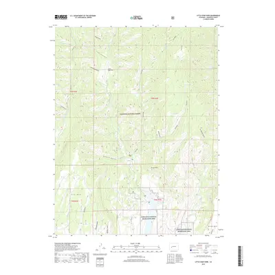
2019 Map of Little Soap Park
USGS Topo · Published 2019About this map
Gunnison National Forest dominates the upper elevations of this landscape, where the high plateau is carved by an intricate network of drainages including Cottonwood Gulch, Lion Gulch, and Sleep Gulch. To the south, the terrain transitions into the Curecanti National Recreation Area, reflecting a modern land-use pattern centered on conservation and watershed management. The namesake Little Soap Park serves as a central landmark amidst a series of prominent flat-topped features like Soap Mesa, Coal Mesa, and Dillon Mesa. These landforms dictate the local travel routes, with several designated forest roads such as Co RD 721 providing access through the steep-walled canyons. Notable water sources such as Rock Spring and Poison Spring are tucked away in the gulches, while larger flows like Curecanti Cr and Soap Cr define the primary drainage basins of the quadrangle.
Find a feature on this map
41 named features on this map. Tap any name to fly to it.
Don’t see what you’re looking for? This feature index may not catch every label — zoom into the map to look around manually.
Map Details
Editions of this 2019 Little Soap Park Map
This is the sole edition of this map. No revisions or reprints were ever made.
Other maps of this area

1908 · Uncompahgre
USGS Topo · 1:125,000

1911 · Uncompahgre
USGS Topo · 1:125,000

1954 · West Elk Peak SW
USGS Topo · 1:24,000

1954 · Little Soap Park
USGS Topo · 1:24,000

1954 · Cebolla
USGS Topo · 1:24,000

1954 · Sapinero
USGS Topo · 1:24,000

1956 · Curecanti Needle
USGS Topo · 1:24,000

1956 · Montrose
USGS Topo · 1:250,000

1957 · X Lazy F Ranch
USGS Topo · 1:24,000

1959 · Montrose
USGS Topo · 1:250,000