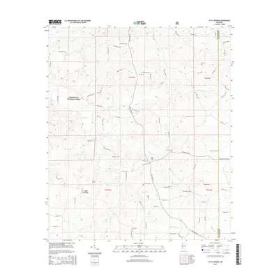
2015 Map of Little Springs
USGS Topo · Published 2015About this map
Little Springs sits at the heart of this landscape, surrounded by the dense timberlands of the Homochitto National Forest. The map reveals a deeply rooted rural community in Franklin County, characterized by a high density of family and community burial grounds such as Mount Gilead Cem, Ramah Cem, and Ebenezer Cem. These sites, often positioned on high ground near drainage divides, suggest a long history of kinship-based settlement patterns along the ridges above McGehee Cr and Goober Cr. The road network, including uniquely named routes like Chicken Foot Rd, follows the winding topography between creek basins. Historical industry is hinted at by features like Wactor Mill Cr and Cane Mill Br, which point to the importance of water-powered processing in the local economy of past generations.
Find a feature on this map
78 named features on this map. Tap any name to fly to it.
Don’t see what you’re looking for? This feature index may not catch every label — zoom into the map to look around manually.
Map Details
Editions of this 2015 Little Springs Map
This is the sole edition of this map. No revisions or reprints were ever made.
Other maps of this area

1953 · Natchez
USGS Topo · 1:250,000

1956 · Natchez
USGS Topo · 1:250,000

1959 · Natchez
USGS Topo · 1:250,000

1962 · Bude
USGS Topo · 1:62,500

1963 · Union Church
USGS Topo · 1:62,500

1972 · West Lincoln
USGS Topo · 1:24,000

1972 · Smithdale
USGS Topo · 1:24,000

1972 · McCall Creek
USGS Topo · 1:24,000

1972 · Little Springs
USGS Topo · 1:24,000

1972 · Auburn
USGS Topo · 1:24,000