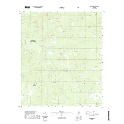
2021 Map of Little Springs
USGS Topo · Published 2021About this map
Little Springs sits at the heart of this Franklin County landscape, where the headwaters of numerous creeks carve through the timberlands of the Homochitto National Forest. The map reveals a dense network of family and community history, evidenced by a high concentration of small cemeteries scattered across the terrain. These sites, such as McGehee Cem, Ramah Cem, and Ebenezer Cem, often align with the ridges and hollows defined by the drainages of McCall Creek, Horse Cr, and Wactor Mill Cr. The area is characterized by its rural isolation and its reliance on a complex web of local roads like Bogue Chitto Rd and Meadville Rd that navigate the divide between Franklin and Lincoln counties. The arrangement of these roads and watercourses suggests a long-standing pattern of settlement based on the topography of the creek basins.
Find a feature on this map
85 named features on this map. Tap any name to fly to it.
Don’t see what you’re looking for? This feature index may not catch every label — zoom into the map to look around manually.
Map Details
Editions of this 2021 Little Springs Map
This is the sole edition of this map. No revisions or reprints were ever made.
Other maps of this area

1953 · Natchez
USGS Topo · 1:250,000

1956 · Natchez
USGS Topo · 1:250,000

1959 · Natchez
USGS Topo · 1:250,000

1962 · Bude
USGS Topo · 1:62,500

1963 · Union Church
USGS Topo · 1:62,500

1972 · West Lincoln
USGS Topo · 1:24,000

1972 · Smithdale
USGS Topo · 1:24,000

1972 · McCall Creek
USGS Topo · 1:24,000

1972 · Little Springs
USGS Topo · 1:24,000

1972 · Auburn
USGS Topo · 1:24,000