
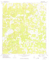
1972 Map of Little Springs
USGS Topo · Published 1974About this map
The Homochitto National Forest covers much of this landscape in the early 1970s, characterized by the winding headwaters of Mc Call Creek and McGehee Creek. This specific area of southwest Mississippi preserves a clear record of nineteenth-century frontier surveying, as the Indian Treaty Boundary cuts diagonally across the forest terrain west of Little Springs. This line represents a significant historical marker in the transition of land from native territory to settlement.
Find a feature on this map
27 named features on this map. Tap any name to fly to it.
Don’t see what you’re looking for? This feature index may not catch every label — zoom into the map to look around manually.
Map Details
Editions of this 1972 Little Springs Map
This is the sole edition of this map. No revisions or reprints were ever made.
Other maps of this area

1953 · Natchez
USGS Topo · 1:250,000

1956 · Natchez
USGS Topo · 1:250,000

1959 · Natchez
USGS Topo · 1:250,000

1962 · Bude
USGS Topo · 1:62,500

1963 · Union Church
USGS Topo · 1:62,500

1972 · West Lincoln
USGS Topo · 1:24,000

1972 · Smithdale
USGS Topo · 1:24,000

1972 · McCall Creek
USGS Topo · 1:24,000

1972 · Auburn
USGS Topo · 1:24,000
1972 · Zetus
USGS Topo · 1:24,000