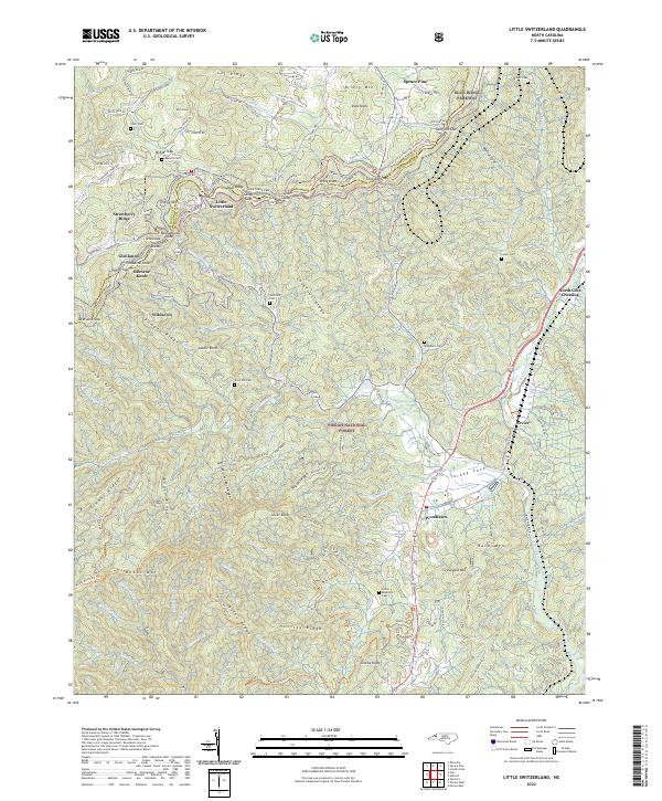
2022 Map of Little Switzerland
USGS Topo · Published 2022About this map
Little Switzerland sits atop the Tennessee Valley Divide, where the High Country of the Blue Ridge transitions between Mitchell and McDowell counties. The area is defined by its dramatic elevation changes, with the Blue Ridge Pkwy winding along the ridge past McCall Gap and Gillespie Gap. This map documents a dense network of family-named cemeteries such as Collis Cem, Lonon Cem, and Snow Hill Cem, which are key for tracing the early settlers of these mountain slopes.
Find a feature on this map
134 named features on this map. Tap any name to fly to it.
Don’t see what you’re looking for? This feature index may not catch every label — zoom into the map to look around manually.
Map Details
Editions of this 2022 Little Switzerland Map
This is the sole edition of this map. No revisions or reprints were ever made.
Other maps of this area

1900 · Mount Mitchell
USGS Topo · 1:125,000

1902 · Mount Mitchell
USGS Topo · 1:125,000

1905 · Morganton
USGS Topo · 1:125,000

1934 · Micaville
USGS Topo · 1:24,000

1934 · Spruce Pine
USGS Topo · 1:24,000

1934 · Parts Of Celo And Black Brothers
USGS Topo · 1:24,000

1934 · Parts Of Old Fort and Montreat
USGS Topo · 1:24,000

1934 · Linville Falls
USGS Topo · 1:24,000

1953 · Charlotte
USGS Topo · 1:250,000

1954 · Charlotte
USGS Topo · 1:250,000