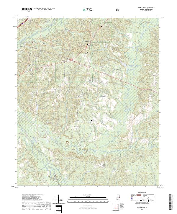
2024 Map of Little Texas
USGS Topo · Published 2024About this map
Tuskegee National Forest dominates the northwestern portion of this region, where a dense network of forest roads like National Forest Rd 906 and the Bartram Trl weave through the timberlands. The landscape is defined by the winding paths of Chewacla Creek and Choctafaula Creek, which drain a countryside dotted with small rural hubs. To the east, Little Texas serves as a central point, supported by the small Little Texas Airport and the nearby Little Texas Cem.
Find a feature on this map
62 named features on this map. Tap any name to fly to it.
Don’t see what you’re looking for? This feature index may not catch every label — zoom into the map to look around manually.
Map Details
Editions of this 2024 Little Texas Map
This is the sole edition of this map. No revisions or reprints were ever made.
Other maps of this area

1906 · Dadeville
USGS Topo · 1:125,000

1907 · Opelika
USGS Topo · 1:125,000

1909 · Opelika
USGS Topo · 1:125,000

1955 · Phenix City
USGS Topo · 1:250,000

1957 · Phenix City
USGS Topo · 1:250,000

1958 · Phenix City
USGS Topo · 1:250,000

1971 · Little Texas
USGS Topo · 1:24,000

1971 · Loachapoka
USGS Topo · 1:24,000

1971 · Tuskegee
USGS Topo · 1:24,000
1971 · Society Hill
USGS Topo · 1:24,000