
1971 Map of Little Thunder Reservoir
USGS Topo · Published 1974About this map
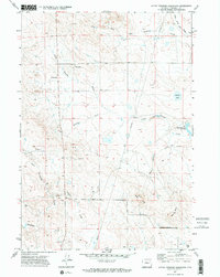
Little Thunder Creek and its many seasonal draws carve through this corner of Campbell County, Wyoming, as it appeared in the early 1970s. The landscape is defined by the ephemeral water sources and the sparse infrastructure of the high plains, where landmarks like Black Butte and Gray Butte provided essential orientation for early residents. Human presence is centered around rural outposts such as Stuart Ranch, while the local social fabric is represented by St Francis Ch and the Highway Sch near the western edge.
Find a feature on this map
17 named features on this map. Tap any name to fly to it.
Don’t see what you’re looking for? This feature index may not catch every label — zoom into the map to look around manually.
Map Details
Editions of this 1971 Little Thunder Reservoir Map
2 editions found
Other maps of this area

1955 · Newcastle
USGS Topo · 1:250,000

1958 · Newcastle
USGS Topo · 1:250,000

1959 · North Star School
USGS Topo · 1:62,500

1960 · Turnercrest
USGS Topo · 1:62,500

1971 · Teckla
USGS Topo · 1:24,000

1971 · Reno Junction
USGS Topo · 1:24,000

1971 · Reno Reservoir
USGS Topo · 1:24,000

1971 · Teckla SW
USGS Topo · 1:24,000
1971 · Hilight
USGS Topo · 1:24,000

1974 · Reno Junction
USGS Topo · 1:100,000