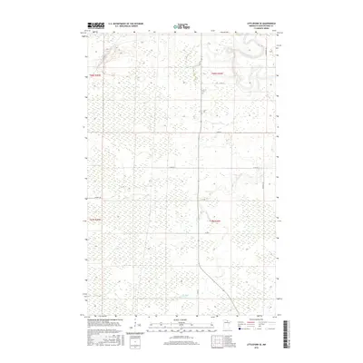
2016 Map of Littlefork SE
USGS Topo · Published 2016About this map
The Little Fork River meanders across this northern landscape in Koochiching County, showing the characteristic wetlands and low-lying topography of the region. The map documents a sparsely populated area where local transport relies on a network of county roads and specific local paths like Wisner Trl and A Cingmars Rd. In the southern portion, the Cross River cuts through the terrain, further defining the hydrological drainage patterns of this woodland and marsh environment. The intersection of local infrastructure and natural waterways, including Ut-145 and Town Rd 144, illustrates the modern land management within Townships 67 and 68 North. This 2016 record captures the state of this remote Minnesota wilderness before further shifts in land use or environmental change.
Find a feature on this map
16 named features on this map. Tap any name to fly to it.
Don’t see what you’re looking for? This feature index may not catch every label — zoom into the map to look around manually.
Map Details
Editions of this 2016 Littlefork SE Map
This is the sole edition of this map. No revisions or reprints were ever made.
Other maps of this area

1919 · Happy Land
USGS Topo · 1:62,500

1919 · M
USGS Topo · 1:62,500

1954 · International Falls
USGS Topo · 1:250,000

1957 · International Falls
USGS Topo · 1:250,000

1958 · International Falls
USGS Topo · 1:250,000

1969 · Ericsburg NW
USGS Topo · 1:24,000

1969 · Ericsburg SW
USGS Topo · 1:24,000

1970 · Littlefork SE
USGS Topo · 1:24,000
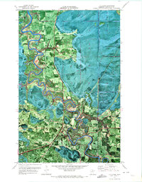
1970 · Littlefork
USGS Topo · 1:24,000

1970 · Littlefork SW
USGS Topo · 1:24,000