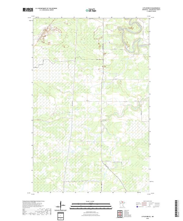
2022 Map of Littlefork SE
USGS Topo · Published 2022About this map
Little Fork River meanders through the northern reaches of this Koochiching County landscape, defining the local hydrology alongside its tributary, the Cross River. This 2022 survey illustrates a heavily forested and wetland-rich environment where transportation is dictated by a grid of county roads and historic corridors. The Blue Ox State Trail MS84 029 Trl cuts across the northwest corner, following a former rail grade that once served the region's timber interests. Local infrastructure is marked by labels like Industrial Ave and the Deer River Line, which suggest a landscape shaped by resource extraction and land management. Further south, the terrain becomes increasingly marshy, with trails like the Wisner Trl providing access into the dense interior of the North Woods.
Find a feature on this map
22 named features on this map. Tap any name to fly to it.
Don’t see what you’re looking for? This feature index may not catch every label — zoom into the map to look around manually.
Map Details
Editions of this 2022 Littlefork SE Map
This is the sole edition of this map. No revisions or reprints were ever made.
Other maps of this area

1919 · Happy Land
USGS Topo · 1:62,500

1919 · M
USGS Topo · 1:62,500

1954 · International Falls
USGS Topo · 1:250,000

1957 · International Falls
USGS Topo · 1:250,000

1958 · International Falls
USGS Topo · 1:250,000

1969 · Ericsburg NW
USGS Topo · 1:24,000

1969 · Ericsburg SW
USGS Topo · 1:24,000

1970 · Littlefork SE
USGS Topo · 1:24,000
1970 · Littlefork
USGS Topo · 1:24,000

1970 · Littlefork SW
USGS Topo · 1:24,000