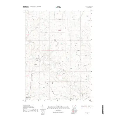
2018 Map of Littleport
USGS Topo · Published 2018About this map
The Turkey River and Volga River wind through this corner of Clayton County, carving a landscape marked by deep valleys like Pine Hollow and Beddows Hollow. The settlement of Communia, established in the mid-19th century as a utopian colony, remains a central point of interest alongside the nearby hamlets of Motor and Littleport. Genealogists will find a significant concentration of burial sites throughout the townships, including the Communia Cem, Meenan Cem, and the Saint Joseph Cem near the northern boundary. The presence of the Motor Mill Bridge across the Turkey River highlights the early industrial and transit hubs that once defined the local economy. At the southern edge, Elkport sits at the confluence of several local routes, surrounded by family-named landmarks such as the Hartshey Cem and Old Garber Cem, illustrating a long-established pattern of rural settlement.
Find a feature on this map
65 named features on this map. Tap any name to fly to it.
Don’t see what you’re looking for? This feature index may not catch every label — zoom into the map to look around manually.
Map Details
Editions of this 2018 Littleport Map
This is the sole edition of this map. No revisions or reprints were ever made.
Other maps of this area

1902 · Elkader
USGS Topo · 1:125,000

1957 · Colesburg
USGS Topo · 1:24,000

1959 · Dubuque
USGS Topo · 1:250,000

1961 · Dubuque
USGS Topo · 1:250,000

1962 · Dubuque
USGS Topo · 1:250,000

1962 · Clayton
USGS Topo · 1:24,000
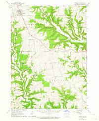
1962 · Garnavillo
USGS Topo · 1:24,000
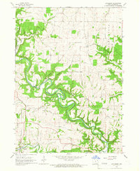
1964 · Littleport
USGS Topo · 1:24,000

1964 · Edgewood
USGS Topo · 1:24,000

1964 · Garber
USGS Topo · 1:24,000