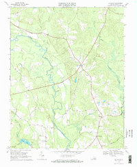
1968 Map of Littleton
USGS Topo · Published 1970About this map
Homeville and Littleton anchor this late-1960s landscape, where the meandering Nottoway River and its vast swampy tributaries define the local geography. The map reveals a rural economy centered on several small crossroads, including Lumberton and Barretts Store, connected by a network of state routes that cut across the wetland terrain. The intricate drainage patterns of Assamoosick Swamp and Hunting Quarter Swamp dominate the eastern and western edges, suggesting a landscape largely shaped by timber and agriculture.
Find a feature on this map
21 named features on this map. Tap any name to fly to it.
Don’t see what you’re looking for? This feature index may not catch every label — zoom into the map to look around manually.
Map Details
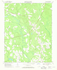
Editions of this 1968 Littleton Map
2 editions found
Other maps of this area

1894 · Petersburg
USGS Topo · 1:62,500

1919 · Jarratt
USGS Topo · 1:62,500

1919 · Disputanta
USGS Topo · 1:62,500

1919 · Homeville
USGS Topo · 1:48,000

1920 · Homeville
USGS Topo · 1:62,500

1943 · Sebrell
USGS Topo · 1:31,680

1943 · Manry
USGS Topo · 1:31,680

1943 · Littleton
USGS Topo · 1:31,680

1943 · Vicksville
USGS Topo · 1:31,680

1943 · Richmond
USGS Topo · 1:250,000