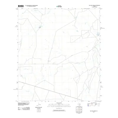
2010 Map of Live Oak Creek
USGS Topo · Published 2010About this map
F B Ashe serves as a lone point of settlement in this arid section of Webb County, where a sparse network of ranch roads and ephemeral watercourses defines the landscape. The geography is dominated by a complex drainage system including Live Oak Creek, Los Olmos Creek, and Dolores Creek, which flow through the chaparral toward the Rio Grande basin. In the northern reaches, Salines Lake and the associated Salines Lake Dam represent a significant human intervention in this dry environment, providing a localized water source where Chucareto Creek and Tecolote Creek meander across the plains. The path of Coquate Rd provides the primary transit artery through the region, connecting remote ranching interests in a landscape that remained largely open and undeveloped into the early 21st century.
Find a feature on this map
9 named features on this map. Tap any name to fly to it.
Don’t see what you’re looking for? This feature index may not catch every label — zoom into the map to look around manually.
Map Details
Editions of this 2010 Live Oak Creek Map
This is the sole edition of this map. No revisions or reprints were ever made.
Other maps of this area

1929 · Cotulla
USGS Topo · 1:125,000

1953 · Crystal City
USGS Topo · 1:250,000

1955 · Crystal City
USGS Topo · 1:250,000

1956 · Becerra
USGS Topo · 1:62,500

1956 · Webb
USGS Topo · 1:62,500

1956 · Laredo
USGS Topo · 1:250,000

1957 · Encinal
USGS Topo · 1:62,500

1957 · Caiman Creek
USGS Topo · 1:62,500

1961 · Crystal City
USGS Topo · 1:250,000

1968 · Crystal City
USGS Topo · 1:250,000