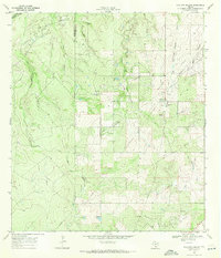
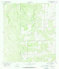
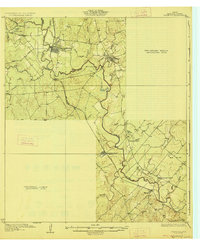
1969 Map of Live Oak Hollow
USGS Topo · Published 1971About this map
Ezzell Field and the Clayton Oil Field dominate this South Texas landscape, where the infrastructure of the petroleum industry is etched into the brush country. Surveyed in the late 1960s, the map reveals a complex network of oil fields, pipelines, and numerous oil wells interspersed with gravel operations. The boundary between McMullen Co and Live Oak Co runs through the western portion of the quadrangle, cutting across the namesake Live Oak Hollow and Mud Hollow.
Find a feature on this map
20 named features on this map. Tap any name to fly to it.
Don’t see what you’re looking for? This feature index may not catch every label — zoom into the map to look around manually.
Map Details
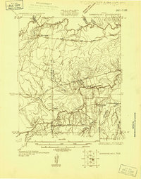
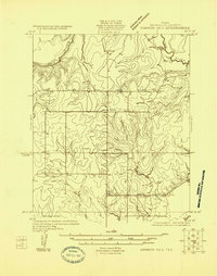
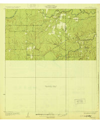
Editions of this 1969 Live Oak Hollow Map
2 editions found
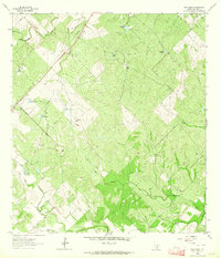
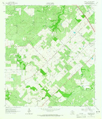
Other maps of this area

1920 · Mikeska
USGS Topo · 1:125,000
1925 · Simmons No. 1
USGS Topo · 1:48,000
1925 · Simmons No. 2
USGS Topo · 1:48,000
1927 · Oakville
USGS Topo · 1:62,500
1929 · Simmons
USGS Topo · 1:62,500

1953 · Crystal City
USGS Topo · 1:250,000

1955 · Crystal City
USGS Topo · 1:250,000

1961 · Crystal City
USGS Topo · 1:250,000
1963 · Elm Creek
USGS Topo · 1:24,000
1963 · Oakville SW
USGS Topo · 1:24,000