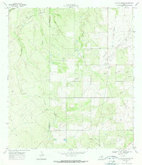
1969 Map of Live Oak Hollow
USGS Topo · Published 1972About this map
The McMullen Co Live Oak Co line bisects this landscape of South Texas ranching and petroleum development. During the late 1960s, the region was defined by its intensive hydrocarbon extraction, anchored by the Ezzell Oil Field and the Clayton Oil Field. A complex network of pipelines and service roads connects various oil wells and a centrally located Pumping Sta, reflecting the industrial footprint on the brush country. Natural drainages such as Live Oak Hollow and Rex Cabaniss Creek carve through the terrain, eventually feeding toward the Nueces River at the northern edge. Scattered extraction sites, including several Gravel Pits, highlight the diverse geological resources being utilized during this era. The small settlement at Ezzell Camp serves as a rare point of residential concentration in an otherwise industrial and pastoral expanse.
Find a feature on this map
17 named features on this map. Tap any name to fly to it.
Don’t see what you’re looking for? This feature index may not catch every label — zoom into the map to look around manually.
Map Details
Editions of this 1969 Live Oak Hollow Map
2 editions found
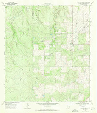
Other maps of this area

1920 · Mikeska
USGS Topo · 1:125,000

1925 · Simmons No. 1
USGS Topo · 1:48,000

1925 · Simmons No. 2
USGS Topo · 1:48,000

1927 · Oakville
USGS Topo · 1:62,500

1929 · Simmons
USGS Topo · 1:62,500

1953 · Crystal City
USGS Topo · 1:250,000

1955 · Crystal City
USGS Topo · 1:250,000

1961 · Crystal City
USGS Topo · 1:250,000
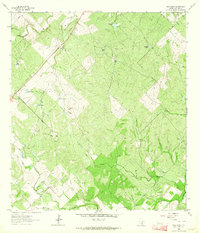
1963 · Elm Creek
USGS Topo · 1:24,000
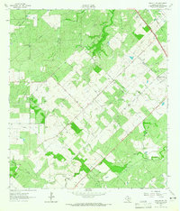
1963 · Oakville SW
USGS Topo · 1:24,000