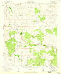
1959 Map of Live Oak Springs
USGS Topo · Published 1960About this map
Tecate Divide serves as a prominent backbone for this corner of San Diego County, separating the drainages that feed the McCain Valley from those sloping toward the Campo Indian Reservation. High-altitude communities like Live Oak Springs and Boulevard are joined by the winding route past Calexico Lodge, while the Manzanita Indian Reservation dominates the northern terrain. The infrastructure of the late 1950s is remarkably detailed here, showing the San Diego and Arizona Eastern rail line cutting through the southern landscape near Music Mtn. Local genealogy and social history are anchored by the St James Cemetery and the Clover Flat Sch, alongside the original Post Office in Boulevard. The landscape is a complex network of seasonal watercourses like Tule McCain Creek and Walker Creek, revealing how early settlement patterns followed these vital resources across the high desert.
Find a feature on this map
42 named features on this map. Tap any name to fly to it.
Don’t see what you’re looking for? This feature index may not catch every label — zoom into the map to look around manually.
Map Details
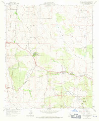
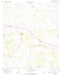
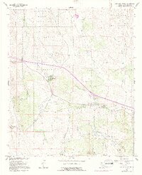
Editions of this 1959 Live Oak Springs Map
4 editions found
Other maps of this area

1931 · Carrizo
USGS Topo · 1:125,000

1939 · Campo
USGS Topo · 1:62,500

1939 · Jacumba
USGS Topo · 1:62,500

1942 · Campo
USGS Topo · 1:62,500

1942 · Carrizo Mtn
USGS Topo · 1:62,500

1942 · Jacumba
USGS Topo · 1:62,500

1942 · Cuyapaipe
USGS Topo · 1:62,500

1950 · San Diego
USGS Topo · 1:250,000

1954 · San Diego
USGS Topo · 1:250,000

1955 · San Diego
USGS Topo · 1:250,000