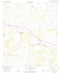
1959 Map of Live Oak Springs
USGS Topo · Published 1978About this map
Campo Indian Reservation, Manzanita Indian Reservation, and La Posta Indian Reservation dominate the landscape of southeastern San Diego County in this mid-century record. The geography is defined by the Tecate Divide, which separates the drainages of Campo Creek and Walker Creek. Small hubs of settlement are clustered along the highway corridors, including Live Oak Springs, Manzanita, and Boulevard, the latter of which features a Post Office.
Find a feature on this map
33 named features on this map. Tap any name to fly to it.
Don’t see what you’re looking for? This feature index may not catch every label — zoom into the map to look around manually.
Map Details
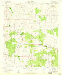
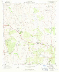
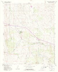
Editions of this 1959 Live Oak Springs Map
4 editions found
Other maps of this area

1931 · Carrizo
USGS Topo · 1:125,000

1939 · Campo
USGS Topo · 1:62,500

1939 · Jacumba
USGS Topo · 1:62,500

1942 · Campo
USGS Topo · 1:62,500

1942 · Carrizo Mtn
USGS Topo · 1:62,500

1942 · Jacumba
USGS Topo · 1:62,500

1942 · Cuyapaipe
USGS Topo · 1:62,500

1950 · San Diego
USGS Topo · 1:250,000

1954 · San Diego
USGS Topo · 1:250,000

1955 · San Diego
USGS Topo · 1:250,000