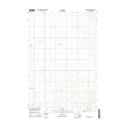
2015 Map of Livermant Lake
USGS Topo · Published 2015About this map
Livermant Lake and the upper reaches of the Little Moreau River define this segment of the South Dakota landscape. This prairie terrain is shaped by a network of drainage systems, including the winding Redwater Cr which meanders through the southern half of the quadrangle. The map captures the organized section lines of the Public Land Survey System, illustrating the sparse, rural settlement pattern across t16n r23e, t16n r24e, t15n r23e, and t15n r24e. Transportation in this area relies on a grid of secondary routes such as CR-5, providing access to the isolated water bodies like Horseshoe Lake. The geography recorded here reflects a quiet, ranch-oriented environment where natural water sources and county roads dictate the local movement and land use.
Find a feature on this map
14 named features on this map. Tap any name to fly to it.
Don’t see what you’re looking for? This feature index may not catch every label — zoom into the map to look around manually.
Map Details
Editions of this 2015 Livermant Lake Map
This is the sole edition of this map. No revisions or reprints were ever made.
Other maps of this area

1952 · Parade NE
USGS Topo · 1:24,000

1952 · Lantry NE
USGS Topo · 1:24,000

1952 · Parade NW
USGS Topo · 1:24,000

1953 · McIntosh
USGS Topo · 1:250,000

1958 · McIntosh
USGS Topo · 1:250,000

1978 · Brewer Butte
USGS Topo · 1:24,000

1978 · Timber Lake
USGS Topo · 1:24,000

1978 · Peach Lake
USGS Topo · 1:24,000

1978 · Little Moreau Lake
USGS Topo · 1:24,000

1978 · Livermant Lake
USGS Topo · 1:24,000