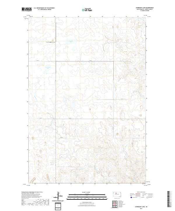
2021 Map of Livermant Lake
USGS Topo · Published 2021About this map
Livermant Lake and Horseshoe Lake dominate the northern plateau of this Dewey County landscape, situated within a region defined by its wide drainage basins and rural road networks. This 2021 survey illustrates the modern configuration of the Missouri River watershed's upper reaches, where the Little Moreau River cuts through the northeastern corner. The drainage patterns of Redwater Cr illustrate the hydrological movement across the undulating plains, providing essential water sources for the cattle ranching and agriculture that define the local economy. The grid of county roads, including Co Rd 5 and the precisely named 147 1/2 St, reflects the systematic division of land under the Public Land Survey System, which continues to shape property boundaries and travel in this part of South Dakota today.
Find a feature on this map
15 named features on this map. Tap any name to fly to it.
Don’t see what you’re looking for? This feature index may not catch every label — zoom into the map to look around manually.
Map Details
Editions of this 2021 Livermant Lake Map
This is the sole edition of this map. No revisions or reprints were ever made.
Other maps of this area

1952 · Parade NE
USGS Topo · 1:24,000

1952 · Lantry NE
USGS Topo · 1:24,000

1952 · Parade NW
USGS Topo · 1:24,000

1953 · McIntosh
USGS Topo · 1:250,000

1958 · McIntosh
USGS Topo · 1:250,000

1978 · Brewer Butte
USGS Topo · 1:24,000

1978 · Timber Lake
USGS Topo · 1:24,000

1978 · Peach Lake
USGS Topo · 1:24,000

1978 · Little Moreau Lake
USGS Topo · 1:24,000

1978 · Livermant Lake
USGS Topo · 1:24,000