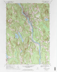
1967 Map of Livermore Falls
USGS Topo · Published 1970About this map
The Androscoggin River carves a deep valley through this Maine landscape, serving as the industrial and transport backbone for Livermore Falls and Chisholm. The Maine Central railroad tracks parallel the river's course, connecting these riverside mill towns to the broader regional economy. Away from the water, the terrain is defined by numerous named peaks such as Moose Hill and Oak Hill, punctuated by clusters of small agricultural settlements and rural schoolhouses like the Livermore Sch.
Find a feature on this map
69 named features on this map. Tap any name to fly to it.
Don’t see what you’re looking for? This feature index may not catch every label — zoom into the map to look around manually.
Map Details
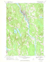
Editions of this 1967 Livermore Falls Map
2 editions found
Other maps of this area

1910 · Livermore
USGS Topo · 1:62,500

1911 · Buckfield
USGS Topo · 1:62,500

1912 · Livermore
USGS Topo · 1:62,500

1913 · Buckfield
USGS Topo · 1:62,500

1924 · Farmington
USGS Topo · 1:62,500

1926 · Dixfield
USGS Topo · 1:62,500

1929 · Dixfield
USGS Topo · 1:62,500

1941 · Livermore
USGS Topo · 1:62,500

1942 · Buckfield
USGS Topo · 1:62,500

1950 · Lewiston
USGS Topo · 1:250,000