
1909 Map of Livermore
USGS Topo · Published 1909About this map
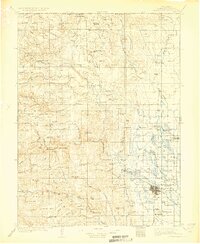
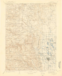
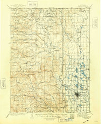
The North Fork Cache la Poudre River and its sister forks dominate this high-plains and foothills landscape in northern Larimer County. At the turn of the century, Fort Collins appears as a structured grid alongside the C and S R R, while the surrounding prairie is dotted with nascent water management systems like Richard Lake (Res No 6) and Douglas Lake (Res No 10). The map documents a transition from the agricultural valley floor into the timber and mineral lands of the Medicine Bow National Forest.
Find a feature on this map
127 named features on this map. Tap any name to fly to it.
Don’t see what you’re looking for? This feature index may not catch every label — zoom into the map to look around manually.
Map Details
Editions of this 1909 Livermore Map
4 editions found
Other maps of this area

1895 · Laramie
USGS Topo · 1:125,000

1902 · Laramie
USGS Topo · 1:125,000

1902 · Greeley
USGS Topo · 1:125,000

1905 · Sherman
USGS Topo · 1:125,000

1905 · Laramie
USGS Topo · 1:125,000

1905 · Mount Olympus
USGS Topo · 1:62,500

1906 · Loveland
USGS Topo · 1:62,500

1906 · Fort Collins
USGS Topo · 1:62,500

1906 · Laramie
USGS Topo · 1:125,000

1907 · Mount Olympus
USGS Topo · 1:62,500