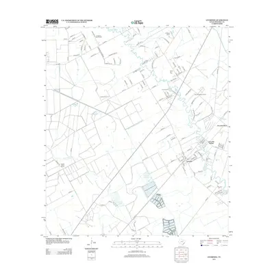
2013 Map of Liverpool
USGS Topo · Published 2013About this map
The settlement of Liverpool sits at the heart of this coastal prairie landscape, where the winding course of Chocolate Bayou meets tidal tributaries like Corner Bayou and Pleasant Bayou. This region is defined by a sophisticated water management system, including the South Texas Water Company Canal and the Bell Lateral, which support the surrounding agricultural and industrial operations. Evidence of the local energy economy is clear at the Rowan Oil Field, while numerous private landing strips like the Toy Airpark and J-D Ranch Airport underscore the area's spread-out, rural character. Genealogists can locate the Liverpool Cem near the town center, while those interested in local recreation can find Camp Mohawk and the Chocolate Springs further north along the bayou's edge.
Find a feature on this map
119 named features on this map. Tap any name to fly to it.
Don’t see what you’re looking for? This feature index may not catch every label — zoom into the map to look around manually.
Map Details
Editions of this 2013 Liverpool Map
This is the sole edition of this map. No revisions or reprints were ever made.
Other maps of this area

1929 · Algoa
USGS Topo · 1:24,000

1932 · Algoa
USGS Topo · 1:31,680

1932 · Mustang Bayou
USGS Topo · 1:31,680

1943 · Rosharon
USGS Topo · 1:31,680

1943 · Danbury
USGS Topo · 1:31,680

1943 · Mustang Bayou
USGS Topo · 1:31,680

1943 · Juliff
USGS Topo · 1:31,680

1943 · Angleton
USGS Topo · 1:24,000

1943 · Chocolate Bay
USGS Topo · 1:24,000

1943 · Chocolate Bayou
USGS Topo · 1:24,000