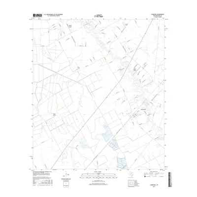
2016 Map of Liverpool
USGS Topo · Published 2016About this map
Liverpool is the primary settlement on this Brazoria County landscape, situated where the Chocolate Bayou begins to meander toward the coast. The region is defined by an intricate network of waterways and drainage systems, including the S Texas Water Company Canal and numerous bayous like Austin Bayou and Pleasant Bayou. This 2016 survey reflects the rural yet developing character of the Texas Gulf Coast, where large agricultural tracts are interspersed with private airfields.
Find a feature on this map
88 named features on this map. Tap any name to fly to it.
Don’t see what you’re looking for? This feature index may not catch every label — zoom into the map to look around manually.
Map Details
Editions of this 2016 Liverpool Map
This is the sole edition of this map. No revisions or reprints were ever made.
Other maps of this area

1929 · Algoa
USGS Topo · 1:24,000

1932 · Algoa
USGS Topo · 1:31,680

1932 · Mustang Bayou
USGS Topo · 1:31,680

1943 · Rosharon
USGS Topo · 1:31,680

1943 · Danbury
USGS Topo · 1:31,680

1943 · Mustang Bayou
USGS Topo · 1:31,680

1943 · Juliff
USGS Topo · 1:31,680

1943 · Angleton
USGS Topo · 1:24,000

1943 · Chocolate Bay
USGS Topo · 1:24,000

1943 · Chocolate Bayou
USGS Topo · 1:24,000