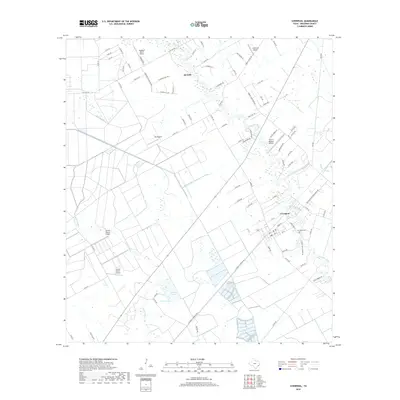
2019 Map of Liverpool
USGS Topo · Published 2019About this map
Chocolate Bayou and Austin Bayou snake through this coastal prairie landscape, defining the character of Brazoria County. The town of Liverpool sits near the confluence of several waterways, including Corner Bayou and Pleasant Bayou, showing a historic reliance on these natural drainages. Just north, the southern reaches of Alvin begin to transition from rural tracts to residential developments along Savannah Plantation Dr. A significant network of man-made waterways like the S Texas Water Company Canal and Bell Lateral illustrates the complex water management required for the region's agricultural interests.
Find a feature on this map
95 named features on this map. Tap any name to fly to it.
Don’t see what you’re looking for? This feature index may not catch every label — zoom into the map to look around manually.
Map Details
Editions of this 2019 Liverpool Map
This is the sole edition of this map. No revisions or reprints were ever made.
Other maps of this area

1929 · Algoa
USGS Topo · 1:24,000

1932 · Algoa
USGS Topo · 1:31,680

1932 · Mustang Bayou
USGS Topo · 1:31,680

1943 · Rosharon
USGS Topo · 1:31,680

1943 · Danbury
USGS Topo · 1:31,680

1943 · Mustang Bayou
USGS Topo · 1:31,680

1943 · Juliff
USGS Topo · 1:31,680

1943 · Angleton
USGS Topo · 1:24,000

1943 · Chocolate Bay
USGS Topo · 1:24,000

1943 · Chocolate Bayou
USGS Topo · 1:24,000