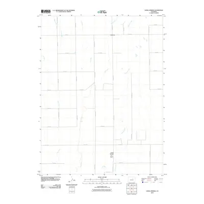
2010 Map of Living Springs
USGS Topo · Published 2010About this map
Kiowa Creek and Comanche Creek carve a series of north-south drainage patterns across this eastern Colorado landscape, defining the character of the high plains before the sprawl of the front range reaches this far east. The settlement of Comanche sits at the intersection of Headlight Rd and E 160th Ave, while Living Springs and the nearby Living Springs Ranch occupy the southern reaches of the quadrangle. A strict grid of section roads, including Strasburg Rd and Yellow Jacket Rd, overlays the terrain, reflecting the systematic agricultural partitioning of the region.
Find a feature on this map
28 named features on this map. Tap any name to fly to it.
Don’t see what you’re looking for? This feature index may not catch every label — zoom into the map to look around manually.
Map Details
Editions of this 2010 Living Springs Map
This is the sole edition of this map. No revisions or reprints were ever made.
Other maps of this area

1949 · Sunnydale
USGS Topo · 1:24,000

1949 · Bennett
USGS Topo · 1:24,000

1950 · South Roggen
USGS Topo · 1:24,000

1950 · Wiggins SW
USGS Topo · 1:24,000

1950 · Prospect Valley
USGS Topo · 1:24,000

1950 · Roper School
USGS Topo · 1:24,000

1951 · Prospect Valley
USGS Topo · 1:24,000

1951 · Roper School
USGS Topo · 1:24,000

1951 · Living Springs
USGS Topo · 1:24,000

1951 · Leader NW
USGS Topo · 1:24,000