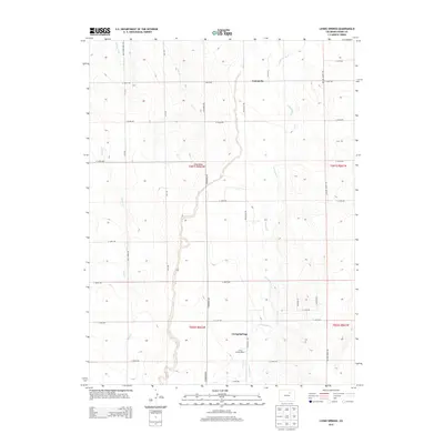
2013 Map of Living Springs
USGS Topo · Published 2013About this map
Living Springs and Comanche anchor this high-plains landscape in Adams County, where the topography is defined by the ephemeral drainages of Kiowa Creek and Comanche Creek. The drainage patterns, including Long Draw and Lost Creek, illustrate the hydrology of eastern Colorado as it was managed in the early 21st century. The map reveals a strict township-and-range grid system, with a network of rural roads such as Strasburg Rd and Wolf Creek Mill Rd facilitating movement between scattered agricultural hubs like Living Springs Ranch. To the northwest, the Henrylyn Canal represents a critical piece of water infrastructure, cutting across the landscape to provide irrigation for this semi-arid region. Researchers will find the road names particularly useful for localizing 20th-century family properties within the large-scale ranching and farming operations of the area.
Find a feature on this map
34 named features on this map. Tap any name to fly to it.
Don’t see what you’re looking for? This feature index may not catch every label — zoom into the map to look around manually.
Map Details
Editions of this 2013 Living Springs Map
This is the sole edition of this map. No revisions or reprints were ever made.
Other maps of this area

1949 · Sunnydale
USGS Topo · 1:24,000

1949 · Bennett
USGS Topo · 1:24,000

1950 · South Roggen
USGS Topo · 1:24,000

1950 · Wiggins SW
USGS Topo · 1:24,000

1950 · Prospect Valley
USGS Topo · 1:24,000

1950 · Roper School
USGS Topo · 1:24,000

1951 · Prospect Valley
USGS Topo · 1:24,000

1951 · Roper School
USGS Topo · 1:24,000

1951 · Living Springs
USGS Topo · 1:24,000

1951 · Leader NW
USGS Topo · 1:24,000