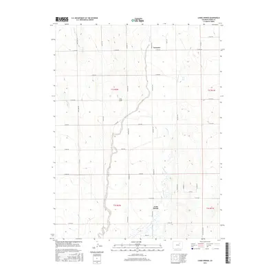
2016 Map of Living Springs
USGS Topo · Published 2016About this map
Kiowa Creek and its associated tributaries carve a winding path through this portion of Adams County, shaping a landscape defined by intermittent watercourses and traditional land divisions. The settlement of Living Springs sits near the junction of several drainage systems, including Comanche Cr and Wolf Cr, illustrating the historical importance of these water sources in an arid region. Further north, the settlement of Comanche is situated along the upper reaches of the Kiowa drainage.
Find a feature on this map
39 named features on this map. Tap any name to fly to it.
Don’t see what you’re looking for? This feature index may not catch every label — zoom into the map to look around manually.
Map Details
Editions of this 2016 Living Springs Map
This is the sole edition of this map. No revisions or reprints were ever made.
Other maps of this area

1949 · Sunnydale
USGS Topo · 1:24,000

1949 · Bennett
USGS Topo · 1:24,000

1950 · South Roggen
USGS Topo · 1:24,000

1950 · Wiggins SW
USGS Topo · 1:24,000

1950 · Prospect Valley
USGS Topo · 1:24,000

1950 · Roper School
USGS Topo · 1:24,000

1951 · Prospect Valley
USGS Topo · 1:24,000

1951 · Roper School
USGS Topo · 1:24,000

1951 · Living Springs
USGS Topo · 1:24,000

1951 · Leader NW
USGS Topo · 1:24,000