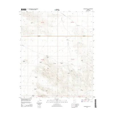
2014 Map of Livingston Hills
USGS Topo · Published 2014About this map
Livingston Hills and the northern reaches of the Kofa Mountains dominate this arid landscape along the border of La Paz and Yuma counties. The terrain is defined by a network of deep drainages and canyons, including Tunnel Mine Canyon, Kofa Queen Canyon, and Surprise Canyon, which cut through the high ridges. In this dry environment, the importance of water management is evident through numerous named tanks and catchments like Beehive Tank, Cripple Tank, and Towhee Tank, alongside natural features such as Budweiser Spring. Human movement through the area is largely restricted to primitive routes like Valve Two Rd and Jasper Spring Rd, which navigate around prominent landmarks like Lonesome Peak and the striking Twin Spires.
Find a feature on this map
36 named features on this map. Tap any name to fly to it.
Don’t see what you’re looking for? This feature index may not catch every label — zoom into the map to look around manually.
Map Details
Editions of this 2014 Livingston Hills Map
This is the sole edition of this map. No revisions or reprints were ever made.
Other maps of this area

1942 · Blythe
USGS Topo · 1:250,000

1942 · Vicksburg
USGS Topo · 1:250,000

1954 · Salton Sea
USGS Topo · 1:250,000

1954 · Phoenix
USGS Topo · 1:250,000

1955 · Salton Sea
USGS Topo · 1:250,000

1957 · Phoenix
USGS Topo · 1:250,000

1958 · Phoenix
USGS Topo · 1:250,000

1959 · Salton Sea
USGS Topo · 1:250,000

1960 · Phoenix
USGS Topo · 1:250,000

1962 · Quartzsite
USGS Topo · 1:62,500