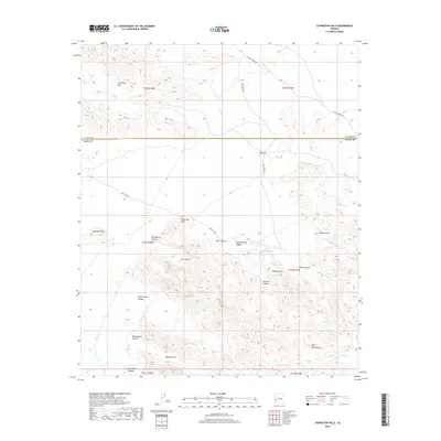
2018 Map of Livingston Hills
USGS Topo · Published 2018About this map
The Livingston Hills dominate this arid landscape, straddling the county line between La Paz and Yuma counties. This terrain is defined by complex drainage systems and isolated peaks, where French Creek and Red Raven Wash carve through the high desert. Settlement is absent here, replaced by a network of water-management features essential for life and livestock in the southwest, including Budweiser Spring, Tunnel Spring, and numerous tanks like Towhee Tank and Cripple Tank.
Find a feature on this map
35 named features on this map. Tap any name to fly to it.
Don’t see what you’re looking for? This feature index may not catch every label — zoom into the map to look around manually.
Map Details
Editions of this 2018 Livingston Hills Map
This is the sole edition of this map. No revisions or reprints were ever made.
Other maps of this area

1942 · Blythe
USGS Topo · 1:250,000

1942 · Vicksburg
USGS Topo · 1:250,000

1954 · Salton Sea
USGS Topo · 1:250,000

1954 · Phoenix
USGS Topo · 1:250,000

1955 · Salton Sea
USGS Topo · 1:250,000

1957 · Phoenix
USGS Topo · 1:250,000

1958 · Phoenix
USGS Topo · 1:250,000

1959 · Salton Sea
USGS Topo · 1:250,000

1960 · Phoenix
USGS Topo · 1:250,000

1962 · Quartzsite
USGS Topo · 1:62,500