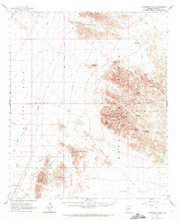
1962 Map of Livingston Hills
USGS Topo · Published 1971About this map
Kofa Mountains and the Livingston Hills dominate this high-desert landscape in Yuma County, captured during a 1962 field check. The area is defined by its critical water sources and mining history, with names like Budweiser Spring, Jasper Spring, and the Kofa Queen Mine marking the arid terrain. The map details a network of Jeep Trails and the historic King Road that once served remote outposts like Stone Cabin.
Find a feature on this map
62 named features on this map. Tap any name to fly to it.
Don’t see what you’re looking for? This feature index may not catch every label — zoom into the map to look around manually.
Map Details
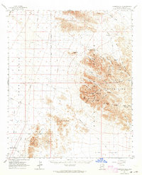
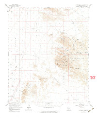
Editions of this 1962 Livingston Hills Map
3 editions found
Other maps of this area

1933 · Cunningham Mtn
USGS Topo · 1:48,000

1934 · Trigo Peaks
USGS Topo · 1:48,000

1939 · Red Hill
USGS Topo · 1:62,500

1939 · Trigo Peaks
USGS Topo · 1:62,500

1940 · Dome Rock Mts
USGS Topo · 1:62,500

1942 · Blythe
USGS Topo · 1:250,000

1942 · Vicksburg
USGS Topo · 1:250,000

1954 · Salton Sea
USGS Topo · 1:250,000

1954 · Red Hill
USGS Topo · 1:62,500

1954 · Trigo Peaks
USGS Topo · 1:62,500