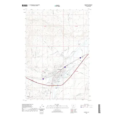
2020 Map of Livingston
USGS Topo · Published 2020About this map
Livingston dominates this modern landscape, situated where the Yellowstone River makes its northward bend. The town's grid is anchored by the City-County Complex, while local history is preserved at the Mountain View Cem and Calvary Cem. Water management is central to the area's development, evidenced by the Livingston Ditch and the Vallis Ditch, which divert water across the plains surrounding the river's main channel.
Find a feature on this map
109 named features on this map. Tap any name to fly to it.
Don’t see what you’re looking for? This feature index may not catch every label — zoom into the map to look around manually.
Map Details
Editions of this 2020 Livingston Map
This is the sole edition of this map. No revisions or reprints were ever made.
Other maps of this area

1891 · Livingston
USGS Topo · 1:250,000

1893 · Livingston
USGS Topo · 1:250,000

1947 · Bozeman
USGS Topo · 1:250,000

1948 · Bozeman
USGS Topo · 1:250,000

1951 · Gobblers Knob
USGS Topo · 1:24,000

1951 · Chadborn
USGS Topo · 1:24,000

1951 · Grannis
USGS Topo · 1:24,000

1951 · Brisbin
USGS Topo · 1:24,000

1951 · Hoppers
USGS Topo · 1:24,000

1951 · Livingston Peak
USGS Topo · 1:24,000