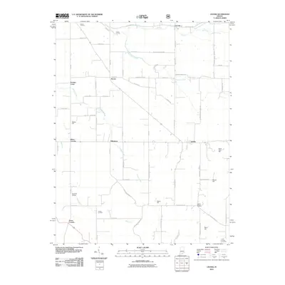
2010 Map of Livonia
USGS Topo · Published 2010About this map
Stampers Creek and Wolf Creek meander through this rural section of Washington County, defining a landscape marked by small crossroads settlements and family burial grounds. The town of Livonia serves as a primary hub in the eastern portion of the map, while Millersburg and Bromer anchor the central rural corridors. This 2010 survey illustrates the persistence of early Indiana settlement patterns, where named locations like Pumpkin Center and Mahan Crossing denote historic intersections and community gathering points.
Find a feature on this map
74 named features on this map. Tap any name to fly to it.
Don’t see what you’re looking for? This feature index may not catch every label — zoom into the map to look around manually.
Map Details
Editions of this 2010 Livonia Map
This is the sole edition of this map. No revisions or reprints were ever made.
Other maps of this area

1947 · Hardinsburg
USGS Topo · 1:24,000

1949 · Hardinsburg
USGS Topo · 1:24,000

1950 · Becks Mill
USGS Topo · 1:24,000

1950 · Mitchell
USGS Topo · 1:24,000

1950 · Valeene
USGS Topo · 1:24,000

1951 · Smedley
USGS Topo · 1:24,000

1953 · Fredericksburg
USGS Topo · 1:24,000

1956 · Vincennes
USGS Topo · 1:250,000

1957 · Vincennes
USGS Topo · 1:250,000

1957 · Campbellsburg
USGS Topo · 1:24,000