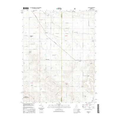
2016 Map of Livonia
USGS Topo · Published 2016About this map
The Mitchell Plain dominates the central landscape of this southern Indiana survey, where the borders of Orange and Washington Counties meet. Historically agricultural, the region is dotted with small crossroads settlements like Livonia, Bromer, and Pumpkin Center. The karst topography of the area is evidenced by the Lost River and its tributary, the South Fork Lost River, which often flow through subterranean channels characteristic of this part of the state.
Find a feature on this map
84 named features on this map. Tap any name to fly to it.
Don’t see what you’re looking for? This feature index may not catch every label — zoom into the map to look around manually.
Map Details
Editions of this 2016 Livonia Map
This is the sole edition of this map. No revisions or reprints were ever made.
Other maps of this area

1947 · Hardinsburg
USGS Topo · 1:24,000

1949 · Hardinsburg
USGS Topo · 1:24,000

1950 · Becks Mill
USGS Topo · 1:24,000

1950 · Mitchell
USGS Topo · 1:24,000

1950 · Valeene
USGS Topo · 1:24,000

1951 · Smedley
USGS Topo · 1:24,000

1953 · Fredericksburg
USGS Topo · 1:24,000

1956 · Vincennes
USGS Topo · 1:250,000

1957 · Vincennes
USGS Topo · 1:250,000

1957 · Campbellsburg
USGS Topo · 1:24,000