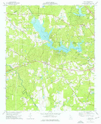
1974 Map of Lizella
USGS Topo · Published 1976About this map
Lake Tobesofkee dominates the central landscape of this Bibb County study, branching into the surrounding hills along Tobesofkee Creek. In the mid-1970s, this area west of Macon shows a blend of established rural life and emerging recreational development. The Southern Railroad cuts through the terrain near the settlement of Lizella, which serves as a local hub. The map provides a detailed view of social and spiritual centers for genealogists, featuring numerous country churches like Midway Ch, Fambro Chapel, and St Dennis Ch.
Find a feature on this map
74 named features on this map. Tap any name to fly to it.
Don’t see what you’re looking for? This feature index may not catch every label — zoom into the map to look around manually.
Map Details
Editions of this 1974 Lizella Map
2 editions found
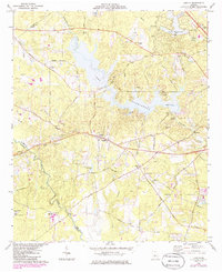
Other maps of this area

1956 · Fort Valley
USGS Topo · 1:62,500

1956 · Bolingbroke
USGS Topo · 1:62,500

1956 · Warner Robins
USGS Topo · 1:62,500

1956 · Macon West
USGS Topo · 1:24,000

1956 · Macon
USGS Topo · 1:62,500

1957 · Macon
USGS Topo · 1:250,000

1958 · Macon
USGS Topo · 1:250,000

1964 · Macon
USGS Topo · 1:250,000
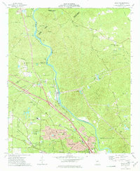
1973 · Macon NW
USGS Topo · 1:24,000
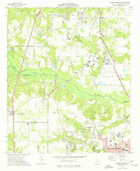
1973 · Warner Robins NW
USGS Topo · 1:24,000