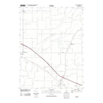
2010 Map of Lizton
USGS Topo · Published 2010About this map
Lizton and Jamestown anchor this part of Central Indiana, where the landscape is defined by the headwaters of the South Fork Eel River and the meandering Big Walnut Creek. The 2010 survey details a highly organized rural grid, where historic routes like W Old State Rd 34 and Middle Jamestown Rd cross the fertile land. The map provides a remarkable concentration of local family and organizational cemeteries, such as the Independent Order of Odd Fellows Cemetery and the Lizton Knights of Pythias Cemetery, reflecting the deep-rooted community heritage of Boone County. The presence of numerous small-scale drainage features, including Cook Ditch and Edlin Ditch, illustrates the long-standing agricultural management required for the surrounding farmsteads. Smaller locales like Advance, New Brunswick, and Raintown appear as critical points of reference in this landscape of creek branches and township roads.
Find a feature on this map
62 named features on this map. Tap any name to fly to it.
Don’t see what you’re looking for? This feature index may not catch every label — zoom into the map to look around manually.
Map Details
Editions of this 2010 Lizton Map
This is the sole edition of this map. No revisions or reprints were ever made.
Other maps of this area

1953 · Fayette
USGS Topo · 1:24,000

1953 · Lizton
USGS Topo · 1:24,000

1953 · Danville
USGS Topo · 1:24,000

1953 · Brownsburg
USGS Topo · 1:24,000

1953 · Lebanon
USGS Topo · 1:24,000

1953 · Danville
USGS Topo · 1:250,000

1953 · Indianapolis
USGS Topo · 1:250,000

1955 · Danville
USGS Topo · 1:250,000

1956 · Danville
USGS Topo · 1:250,000

1956 · Indianapolis
USGS Topo · 1:250,000