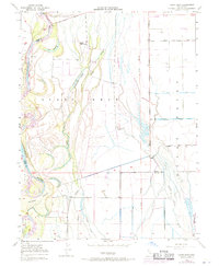
1948 Map of Llano Seco
USGS Topo · Published 1971About this map
Sacramento River floodplains and sprawling land grants define this portion of the Sacramento Valley, where the intricate hydrology of sloughs and lakes reveals a landscape managed for agriculture and flood control. The map captures the interface between historical land grants like Rancho De Farwell and Larkins Children Rancho, and the industrial water infrastructure of the Western Canal and Odell Canal. Riverside activity is evidenced by river landings such as Parrott Landing and Hites Landing, which historically served as vital shipping points for local produce.
Find a feature on this map
29 named features on this map. Tap any name to fly to it.
Don’t see what you’re looking for? This feature index may not catch every label — zoom into the map to look around manually.
Map Details
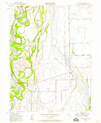
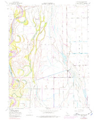
Editions of this 1948 Llano Seco Map
3 editions found
Other maps of this area

1888 · Marysville
USGS Topo · 1:125,000

1891 · Chico
USGS Topo · 1:125,000

1891 · Marysville
USGS Topo · 1:125,000

1893 · Chico
USGS Topo · 1:125,000

1894 · Marysville
USGS Topo · 1:125,000

1895 · Marysville
USGS Topo · 1:125,000

1895 · Chico
USGS Topo · 1:125,000

1906 · Maxwell
USGS Topo · 1:62,500

1906 · Willows
USGS Topo · 1:62,500

1911 · Landlow
USGS Topo · 1:31,680