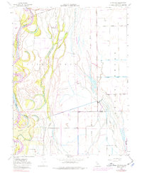
1948 Map of Llano Seco
USGS Topo · Published 1977About this map
Rancho Llano Seco sits at the heart of this landscape, reflecting the enduring influence of the Mexican land grant system on the Central Valley's geography. The Sacramento River forms the western boundary, characterized by complex hydrology including Hartley Island and numerous oxbow features like The Lagoon and Perkins Lake. These remnants of former river channels are interspersed with sloughs and lakes, such as Angel Slough and Eddy Lake, illustrating the natural flood patterns of the region before modern extensive water management.
Find a feature on this map
26 named features on this map. Tap any name to fly to it.
Don’t see what you’re looking for? This feature index may not catch every label — zoom into the map to look around manually.
Map Details
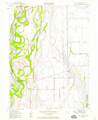
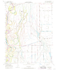
Editions of this 1948 Llano Seco Map
3 editions found
Other maps of this area

1888 · Marysville
USGS Topo · 1:125,000

1891 · Chico
USGS Topo · 1:125,000

1891 · Marysville
USGS Topo · 1:125,000

1893 · Chico
USGS Topo · 1:125,000

1894 · Marysville
USGS Topo · 1:125,000

1895 · Marysville
USGS Topo · 1:125,000

1895 · Chico
USGS Topo · 1:125,000

1906 · Maxwell
USGS Topo · 1:62,500

1906 · Willows
USGS Topo · 1:62,500

1911 · Landlow
USGS Topo · 1:31,680