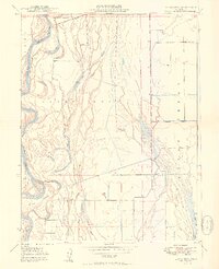
1950 Map of Llano Seco
USGS Topo · Published 1950About this map
Rancho Llano Seco sits at the heart of this Sacramento Valley landscape, where the shifting hydrology of the Sacramento River and its intricate network of sloughs and lakes define the local geography. The map captures a moment when river commerce and agriculture were still deeply intertwined, evidenced by river access points at Hites Landing and Parrott Landing. To the east, the Mt Diablo Meridian cuts through a highly managed water system featuring the Odell Canal and Western Canal, supporting the expansive rancho lands like Aguas Frias. The presence of a Grain Elevator and a Gravel Pit indicates a mid-century economy focused on bulk agricultural transport and local infrastructure. This 1950 edition provides an essential view of the river's path around Hartley Island before modern developments further altered these flood-prone reaches.
Find a feature on this map
24 named features on this map. Tap any name to fly to it.
Don’t see what you’re looking for? This feature index may not catch every label — zoom into the map to look around manually.
Map Details
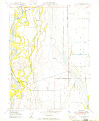
Editions of this 1950 Llano Seco Map
2 editions found
Other maps of this area

1888 · Marysville
USGS Topo · 1:125,000

1891 · Chico
USGS Topo · 1:125,000

1891 · Marysville
USGS Topo · 1:125,000

1893 · Chico
USGS Topo · 1:125,000

1894 · Marysville
USGS Topo · 1:125,000

1895 · Marysville
USGS Topo · 1:125,000

1895 · Chico
USGS Topo · 1:125,000

1906 · Maxwell
USGS Topo · 1:62,500

1906 · Willows
USGS Topo · 1:62,500

1911 · Landlow
USGS Topo · 1:31,680