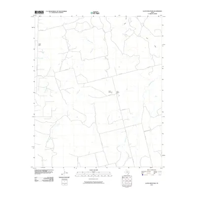
2010 Map of Lloyd Mountain
USGS Topo · Published 2010About this map
Lloyd Mountain rises as a central landmark in this West Texas landscape, surrounded by an intricate network of seasonal drainage draws and creeks. This 2010 survey by the U.S. Geological Survey documents a region defined by its wide-ranging ranching infrastructure and rural educational roots. Evidence of early settlement is found at the Ennis Creek School and the Lloyd Mountain School, which served the dispersed families living along the many creek branches like Salt Springs Creek and Horse Creek.
Find a feature on this map
28 named features on this map. Tap any name to fly to it.
Don’t see what you’re looking for? This feature index may not catch every label — zoom into the map to look around manually.
Map Details
Editions of this 2010 Lloyd Mountain Map
This is the sole edition of this map. No revisions or reprints were ever made.
Other maps of this area

1932 · Camp Springs
USGS Topo · 1:62,500

1952 · Snyder
USGS Topo · 1:24,000

1952 · Hermleigh
USGS Topo · 1:24,000

1954 · Lloyd Mountain
USGS Topo · 1:24,000

1954 · Brand
USGS Topo · 1:24,000

1954 · Big Spring
USGS Topo · 1:250,000

1958 · Big Spring
USGS Topo · 1:250,000

1969 · Camp Springs
USGS Topo · 1:24,000

1969 · Inadale NW
USGS Topo · 1:24,000

1969 · Maverick Creek
USGS Topo · 1:24,000