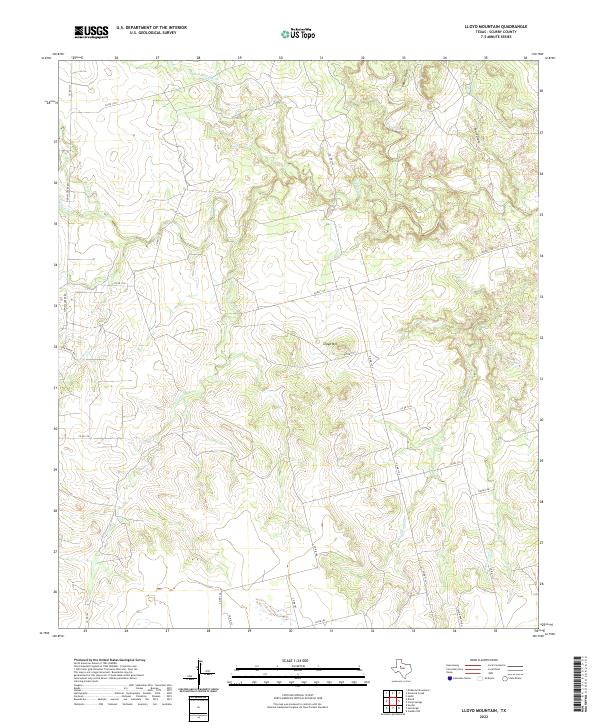
2022 Map of Lloyd Mountain
USGS Topo · Published 2022About this map
Lloyd Mtn stands as the central topographic feature in this section of Scurry County, where the landscape is defined by an intricate network of drainage systems. The map details a complex hydrology including Salt Springs Cr, Cottonwood Cr, and Lloyd Cr, which carve through the terrain. These watercourses create a dissected geography that influenced the placement of local thoroughfares like Co RD 1116 and Co RD 1105.
Find a feature on this map
30 named features on this map. Tap any name to fly to it.
Don’t see what you’re looking for? This feature index may not catch every label — zoom into the map to look around manually.
Map Details
Editions of this 2022 Lloyd Mountain Map
This is the sole edition of this map. No revisions or reprints were ever made.
Other maps of this area

1932 · Camp Springs
USGS Topo · 1:62,500

1952 · Snyder
USGS Topo · 1:24,000

1952 · Hermleigh
USGS Topo · 1:24,000

1954 · Lloyd Mountain
USGS Topo · 1:24,000

1954 · Brand
USGS Topo · 1:24,000

1954 · Big Spring
USGS Topo · 1:250,000

1958 · Big Spring
USGS Topo · 1:250,000

1969 · Camp Springs
USGS Topo · 1:24,000

1969 · Inadale NW
USGS Topo · 1:24,000

1969 · Maverick Creek
USGS Topo · 1:24,000