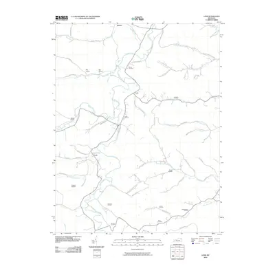
2010 Map of Load
USGS Topo · Published 2010About this map
Tygarts Creek winds through this section of Greenup County, shaping a landscape defined by deep hollows and narrow ridges. The settlement of Load serves as a central point, supported by the Load Post Office and connected to outlying areas via routes like Marshall Hollow Rd and Bentley Cemetery Rd. The map reveals a high density of family and community burial sites, including the Waring Cemetery, Quillen Cemetery, and Meadows Cemetery, which are essential for genealogical research in this part of Kentucky. Industrial heritage is anchored by the Old Raccoon Furnace near Raccoon Creek, while names like Coal Branch and Stony Fork hint at the local extraction and natural geography that sustained these communities. The terrain is further marked by numerous named valleys such as Big Hollow and Hungry Hollow, illustrating the intricate topography of the region.
Find a feature on this map
80 named features on this map. Tap any name to fly to it.
Don’t see what you’re looking for? This feature index may not catch every label — zoom into the map to look around manually.
Map Details
Editions of this 2010 Load Map
This is the sole edition of this map. No revisions or reprints were ever made.
Other maps of this area

1903 · Kenova
USGS Topo · 1:125,000

1904 · Kenova
USGS Topo · 1:125,000

1915 · Garrison
USGS Topo · 1:62,500

1918 · Garrison
USGS Topo · 1:62,500

1926 · Greenup
USGS Topo · 1:48,000

1930 · Greenup
USGS Topo · 1:62,500

1949 · Friendship
USGS Topo · 1:24,000

1949 · Brushart
USGS Topo · 1:24,000

1950 · Brushart
USGS Topo · 1:24,000

1950 · Tygarts Valley
USGS Topo · 1:24,000