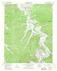
1950 Map of Lobelville
USGS Topo · Published 1970About this map
The Buffalo River meanders through the heart of this landscape, its path defined by fertile lowlands like Leeper Bottom and Rains Bottom. The settlement of Lobelville serves as the primary hub, showing a concentrated pattern of growth along Tennessee 13 and the riverbanks. High ridges, most notably Dividing Ridge and Crooked Creek Ridge, separate the numerous hollows that characterize the local geography, such as Hellneck Hollow and Malugin Hollow.
Find a feature on this map
87 named features on this map. Tap any name to fly to it.
Don’t see what you’re looking for? This feature index may not catch every label — zoom into the map to look around manually.
Map Details
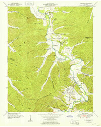
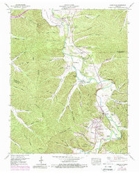
Editions of this 1950 Lobelville Map
3 editions found
Other maps of this area

1936 · Pleasantville
USGS Topo · 1:24,000

1936 · Hurricane Mills
USGS Topo · 1:24,000

1936 · Coble
USGS Topo · 1:24,000

1936 · Pine View
USGS Topo · 1:24,000

1936 · Daniels Landing
USGS Topo · 1:24,000

1936 · Bucksnort
USGS Topo · 1:24,000

1936 · Chestnut Grove
USGS Topo · 1:24,000

1936 · Lobelville
USGS Topo · 1:24,000

1936 · Hustburg
USGS Topo · 1:24,000

1949 · Daniels Landing
USGS Topo · 1:24,000