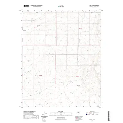
2020 Map of Lobo Hill NE
USGS Topo · Published 2020About this map
Rattlesnake Draw and Chavez Draw cut through this high desert terrain in Torrance County, New Mexico. The landscape is defined by its drainage patterns and a sparsely distributed network of roads that follow the contours of the land. In the southern portion of the quadrangle, Red Canyon serves as a significant topographical landmark.
Find a feature on this map
14 named features on this map. Tap any name to fly to it.
Don’t see what you’re looking for? This feature index may not catch every label — zoom into the map to look around manually.
Map Details
Editions of this 2020 Lobo Hill NE Map
This is the sole edition of this map. No revisions or reprints were ever made.
Other maps of this area

1894 · Lamy
USGS Topo · 1:125,000

1954 · Santa Fe
USGS Topo · 1:250,000

1954 · Fort Sumner
USGS Topo · 1:250,000

1958 · Fort Sumner
USGS Topo · 1:250,000

1958 · Santa Fe
USGS Topo · 1:250,000

1960 · Lobo Hill
USGS Topo · 1:62,500

1960 · Stanley
USGS Topo · 1:62,500
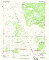
1966 · Clines Corners
USGS Topo · 1:24,000

1978 · Pedernal Mountain
USGS Topo · 1:24,000
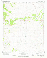
1978 · Rock Lake
USGS Topo · 1:24,000