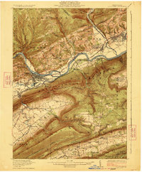
1923 Map of Lock Haven
USGS Topo · Published 1923About this map
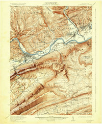
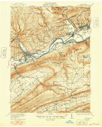
The West Branch Susquehanna River carves through the center of this 1920s topography, defining the industrial and agricultural corridors of Clinton and Lycoming counties. The city of Lock Haven sits at the junction of the river and Eagle Creek, positioned between the steep rises of Bald Eagle Mountain and the high plateaus of Gallagher and Woodward. This era shows a landscape where rail and river logistics remain central, with the Pennsylvania Railroad tracing the northern bank and connecting settlements like Lockport, McElhattan, and Jersey Shore.
Find a feature on this map
91 named features on this map. Tap any name to fly to it.
Don’t see what you’re looking for? This feature index may not catch every label — zoom into the map to look around manually.
Map Details
Editions of this 1923 Lock Haven Map
7 editions found
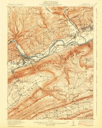
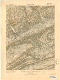
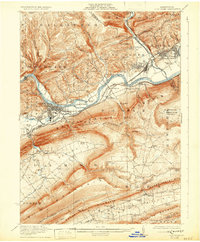
Other maps of this area

1921 · Howard
USGS Topo · 1:48,000

1921 · Williamsport
USGS Topo · 1:48,000

1921 · Trout Run
USGS Topo · 1:62,500

1921 · Lock Haven
USGS Topo · 1:62,500

1923 · Howard
USGS Topo · 1:62,500

1923 · Lock Haven
USGS Topo · 1:62,500

1923 · Trout Run
USGS Topo · 1:62,500

1923 · Williamsport
USGS Topo · 1:62,500

1924 · Centre Hall
USGS Topo · 1:62,500

1929 · Centre Hall
USGS Topo · 1:62,500